Exploring Mt. Washington: Weather Risks and Safety Tips


Today’s Weather On Mt. Washington Summit

  • Wind Speed 51 mph
  • Temperature -5.6 F
  • Wind Chill Temperature -39F

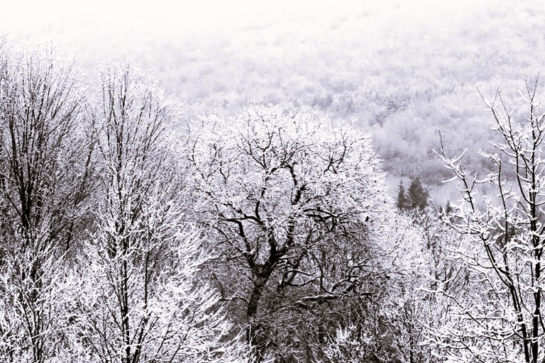
The Presidential Range is a mountain range located in the White Mountains in New Hampshire. Named for President George Washington, Mt. Washington is the tallest peak. It is known for its’ record-breaking wind speed.

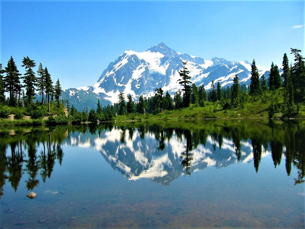
Standing at an elevation of 6,289 ft. , Mt. Washington is considered one of the most treacherous mountains in the United States. The mountain is notorious for unpredictable and inclement weather.

If you’re planning to venture up Mt. Washington, be very prepared for what you’ll encounter on your journey.

The Importance of Wind Chill

Wind chill is how cold the outdoor temperature feels when the wind speed is factored in. At the base of the mountain the temperature may be 40 degrees F. As you increase elevation the wind speed increases and the temperature will feel colder.

Fatalities on Mt. Washington

There have been 176 known fatalities and missing persons within the Presidential Range, many of them were over 50 years old.

Links To Summit Weather and Wind Chill Calculator

Mt. Washington Observatory Current Summit Conditions www.mtwashington.org

Wind Chill Calculator www.weather.gov

Weight Vests and Joint Health: What You Need to Know


There are benefits and drawbacks to wearing a weighted vest during hiking, running or walking.

Keep in mind that aging is about wear and tear. As we get older, we want to take care of our muscles, bones, ligaments and tendons, being mindful that all body parts are working properly and are free of pain.

When you wear a weighted vest, or carry dumbbells during hiking, walking or running, you’re placing an extra load on your hips and knees. This may lead to joint pain or possible long-term damage.

If you’re over 50 and your knees and hips don’t bother you, consider the physical downside to adding weight to your cardio workouts before you set out on your hike, walk or run.

Read more about this subject by clicking the link below.


Hiking With A Weighted Vest: Does It Actually Work – HikersDaily.com

Hiking Accident Prevention: Solo Hikers Disappear In the North Cascades Two Months Apart


S T O R I E S   P A S T  A N D   P R E S E N T


Samantha Sayers Nor Rachel Lakoduk Returned From Their Solo Hiking Trip


A view of Mt. Shuksan in the North Cascades National Park, Washington state, USA.
A VIEW OF MT. SHUKSAN THE NORTH CASCADES NATIONAL PARK IN WASHINGTON STATE

SAMANTHA SAYERS

Samantha Sayers was 27-years-old when she disappeared on August 1, 2019, while hiking solo in the Mount Baker–Snoqualmie National Forest, of the North Cascades mountain range.

Her plan was to summit Vesper Peak at 6,220 feet, and return by 6:00 PM. Her preparation included hiking poles, three sandwiches, chips and water.

The last time she was seen was 3:00 PM, when she had lunch with another hiker near the summit.

The trail to the summit is considered difficult and rigorous. Sayers had successfully climbed it before. But, after an extensive 8,000 hour search, not a trace of her turned up.

_____________________________

RACHEL LAKODUK

9n October 17, 2019 Rachel Lakoduk set out on a solo overnight hike in the North Cascades mountains of Washington state. She was on her way to Hidden Lake Lookout, and planned to stay in a remote Cascades cabin located at 6800 feet. She was never seen again.

Two rescue attempts followed on October 19th and 20th. Both times rescuers faced imminent danger and had to turn back, due to extreme weather conditions, the possibility of avalanche, and 2 to 6 feet of trail snow.

On October 22, the rescuers reached the remote cabin, but there was no sign of Rachel. She was 28-years-old.

UPDATE: In August 2021 Rachel Lakoduk’s body was found by a private search and rescue group.

_______________________

ONLINE NEWS ARTICLES

Herald.net 9/14/18 “The 8,000-hour search to #find sam sayers on vesper peak” By Caleb Hutton

Seattle.Met 4/23/19 “Where on earth is Sam Sayers?” By Allison Williams

HeraldSun.com 10/22/19 “Rescuers reach remote Cascades cabin but don’t find missing hiker, Washington cops say” By Jaret Gilmour

The North Cascades National Park 10/26/21 “North Cascades National Park Weather”


This image has an empty alt attribute; its file name is finger-vintage-google-image-2.jpg

KNOW BEFORE YOU GO: Trip Planning Resources For Hikers and Backpackers


Hiking Accident Prevention: Why You Should Use A Compass and Map

A Map & Compass Are Hiking Survival Tools

Why should you learn to use a compass and map, when all you need is your GPS device?

The reason is battery failure. It’s ok to bring your GPS and cell phone, but don’t rely on them. In many wilderness areas, cell phone signals are weak or don’t exist.

If you’re not familiar with reading a map and compass, learn how to use them before your next trip. And then, put them in your pack for your next hike, even if it’s only for a day.

A compass and map applies to all skill levels, and is one of the 10 Essentials of Hiking.

Hikers sometimes get lost, or injured. If your device fails, or you aren’t carrying one, a map and compass could save you from hypothermia, or heat exhaustion.

Trail maps for U.S. national parks and U.S. forests can be ordered online from the U.S. Forest Service, and National Geographic, Click this link for State trail maps.

Where to buy a trail compass; Sporting goods stores, REI.com, Amazon.

____________________

KNOW BEFORE YOU GO: Trip Planning Resources For Hikers and Backpackers

___________________

Irene Pastore, is a Certified Personal Trainer, fitness blogger, health educator, and speaker. She has 24 years experience teaching exercise in New York City.  For her complete bio, visit the About Page.  

Hiking Accident Prevention: Losing The Trail In The Great Smoky Mountains


S T O R I E S   P A S T   A N D   P R E S E N T

Cautionary Tales For Back Country Hikers


Mother-Daughter Hike Ends In Grief


In October 2018, Mitzie Susan Clements, 53 and her daughter were on their way down, while hiking Clingman’s Dome – Forney Ridge Trail, in the Great Smoky Mountains National Park.  Her 20-year-old daughter, who was hiking ahead of her, lost sight of her mother.

After a week-long search, Mitzie Clements’ body was found in a rugged off-trail area, typified by very thick vegetation and a steep, very rocky hillside.  The cause of death was hypothermia.  A helicopter removed her remains. 

At the time of their hike, the weather conditions were foggy, and temperatures were in the 40s.  According to a park official, it was raining, and approaching darkness, making it difficult to miss trail intersections.  

News articles about this story are provided in the highlighted links listed below.

The Great Smoky Mountains National Park, North Carolina,  is the most visited national park in the United States.

Online News Sources

Asheville Citizen-Times, October 4, 2018 Great Smokies hiker found dead this week is 11th death in park this year. By Karen Chavez

Asheville Citizen-Times, October 4, 2018 – Staying safe in the outdoors: Hiking death in Great Smokies a reminder of forest dangers,  By Karen Chavez

Citizen-Times.com (Citizen Times) April 3, 2019 Autopsy Reveals Cause of Death For Woman Who Went Missing in Great Smoky Mountains,  By Karen Chavez


KNOW BEFORE YOU GO: Trip Planning Resources For Hikers and Backpackers


Hiking Accident Prevention: Learn The Risks of Slot Canyon Flash Floods


 Monsoon Season Brings Sudden Flooding 


SLOT CANYONS are funnel-shaped rock formations, found in the American southwest. They are wide at the top, and narrow at the bottom. Slot canyon formation is caused by water rushing through sandstone or limestone rock.  Southern Utah has the most slot canyons in the world.

SLOT CANYON FLASH FLOODS are often caused by storms miles away.  Slot canyon flash floods are dangerous, and can be life threatening.

During a flash flood, the water level rises quickly, within minutes, or seconds.  A flash flood can rush down a canyon in a wall of water 12 feet high or more.  

Hikers should check the National Weather Service, for an up-to-date report, before entering a slot canyon.  If bad weather is predicted, entering a slot canyon is dangerous, and may result in your death.


O N L I N E  N E W S  S O U R C E S

NPS.gov (National Park Service) –  Zion National Park Utah: The Narrows Safety 

NPS.gov (National Park Service) Monsoon Season 

MyUtahParks.com Be Aware of Flash Flood Dangers In Utah’s Canyons,  By Carly Everett  – 6/19/19

Blogs.Scientific American.comInstant Peril: Flash Floods and How To Survive Them.  Flash Floods Kill People Worldwide  Find Out How To Survive,  By Dana Hunter – 12/28/16

LATimes.com/Associated Press Report: Hikers Were Warned Before Flood,  9/30/97

CNN.com – 7 Dead In Zion National Park Flash Flood,  By Ralph Ellis – 9/17/15

OutsideOnline.com Special Report: The Keyhole 7,  By Grayson Schaffer – 5/24/16

ChicagoTributne.comUtah Floods That Killed 19 Show Dangers Of Popular Desert Canyons,   By Tribune Wire Reports – 9/17/15

Weather.gov (US National Weather Service)Floods  

OutsideOnline.com Surviving A Flash Flood In A Slot Canyon,  By Joe Spring – 9/11/13

Backpacker.com – The Manual: How To Explore A Slot Canyon,  By Kristin Bjornsen and Rebecca Kane – 2/14/17


KNOW BEFORE YOU GO: Trip Planning Resources For Hikers and Backpackers


Irene Pastore, is a Certified Personal Trainer, fitness blogger, health educator, and speaker. She has 25 years experience teaching exercise in New York City.  To read her complete bio, visit the About Page.